
If you’ve ever watched dark clouds roll in from the Gulf St Vincent and wondered exactly when the rain will hit your suburb, you already know how useful a live radar can be. Adelaide’s weather radar gives you that real-time view—but knowing which product to use, what the colors mean, and where to find the best views takes a bit of guidance. This article walks you through every option, from the Bureau of Meteorology’s official loops to the third-party apps worth downloading.
Primary Radar Ranges: 128 km, 512 km ·
Update Frequency: Every 5 minutes ·
Official Source: Bureau of Meteorology ·
Key Coverage: Adelaide SA rain and wind ·
App Recommendation: MyRadar
Quick snapshot
- Buckland Park radar sits 35 km north-northwest of Adelaide city centre (Weatherzone)
- The system runs 24 hours a day with a Meteor 1500S S Band radar (Weatherzone)
- The 512 km composite covers current temperature, dew point, humidity, rainfall and wind (Eldorado Weather)
- Radar data retention periods and archival policies are not publicly documented
- Specific error margins or accuracy specifications are not published
- Mobile app availability and API access options for developers lack clear documentation
- BoM currently provides both 128 km and 512 km Adelaide radar products (April 2026) (Bureau of Meteorology)
- The Weather Chaser updates every 5 minutes with free access and historical data (Bureau of Meteorology)
- Multiple third-party providers now offer BoM radar data with additional features (Bureau of Meteorology)
- BoM radar data continues to be distributed through third-party platforms
- Integration with HD satellite imagery is expanding across providers
- More apps are adding real-time push notifications for storm cells
The table below summarises the technical specifications of the Buckland Park radar system that powers Adelaide’s real-time weather monitoring.
| Specification | Value |
|---|---|
| Main Radar Site | BOM.gov.au Buckland Park |
| Distance from City Centre | 35 km north-northwest |
| Radar Type | Meteor 1500S S Band |
| Coverage Options | 128 km primary, 512 km extended |
| Update Interval | Every 5 minutes |
| Key Features | Rain, wind, satellite views |
| Typical Availability | 24 hours per day |
| Radar Identifier | IDR641 (512 km composite) |
How many mm of rain did Adelaide get today?
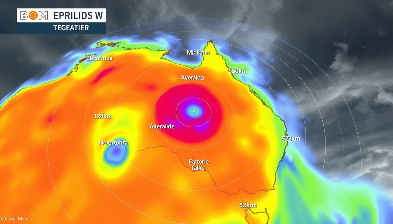
Current radar readings show live precipitation intensity across the Adelaide metropolitan area. The BoM’s 128 km Buckland Park loop displays 1-hour rainfall accumulation, letting you see exactly where rain bands are strongest right now. To check today’s totals, load the Bureau of Meteorology’s Adelaide radar loop and note the color scale: lighter greens indicate lighter rainfall, while yellows and reds show heavier precipitation.
Current radar readings
The Weather Chaser offers free access to Adelaide radar data updated every 5 minutes, with rainfall intensity displayed through color-coded loops. Their platform also provides historical data access, so you can compare today’s rainfall against recent averages. The Adelaide 512 km radar page shows the full composite view including wind patterns alongside precipitation.
Recent rainfall totals
For precise millimeter readings rather than visual intensity, the BoM’s rainfall station network feeds data into their public forecast products. The Bureau of Meteorology rain radar page lets you switch between precipitation-only and combined weather views. AccuWeather’s Adelaide radar page tracks rain, ice, snow and mixed precipitation types separately.
Adelaide’s rainfall is winter-dominated, meaning the bulk of annual precipitation arrives between May and August. Using radar to time your activities during dry windows saves frustration—checking the loop 30 minutes before an outdoor event tells you whether to press pause or head outside.
The implication: radar intensity readings give you direction and timing, but always cross-reference with ground-level rain gauge data for exact millimetre amounts.
What is the rainiest month in Adelaide?
June is Adelaide’s wettest month on average, with around 60–80 mm of rainfall typically recorded across the metropolitan area. May and August are close runners-up, forming a wet season that concentrates most of the region’s annual rainfall into roughly four months. The radar patterns during these months show more frequent and organized rain bands moving in from the Southern Ocean.
Monthly averages
Adelaide receives approximately 500–600 mm of rainfall annually, making it one of the drier Australian capital cities. The Mount Lofty Ranges—the dominant topographic feature running north to south from Burra to Cape Jervis—enhance precipitation on their western slopes as moisture-laden air is forced upward. Weatherzone’s Adelaide radar page notes this terrain effect in their coverage description. The same systems that bring rain to the ranges often leave the city proper with lighter falls, which the radar helps you distinguish in real time.
Radar patterns by season
During summer (December–February), rain events are typically convective and short-lived—fast-moving storms that may drop 10–15 mm in an hour before clearing. Winter systems are more stratiform, with prolonged light to moderate rain covering larger areas. The Weather Chaser’s 512 km composite radar captures both types effectively, and the animation controls let you step through past loops to study typical storm tracks for each season.
Radar beams can be partially blocked by terrain—the Mount Lofty Ranges may cause small gaps in coverage immediately east of the ranges. For those areas, ground-level rain gauge data from BoM stations provides a more accurate picture than radar alone.
What this means: seasonal radar patterns are predictable, so you can develop a mental model for each time of year and recognise anomalies faster.
What’s the best rain radar app?
The best app depends on what you need it for. If you want the most detailed local view with BoM data, the official Bureau of Meteorology app puts radar access front and centre. If you prefer a more polished interface with fewer ads, MyRadar is a strong alternative that pulls Australian radar data. The Weather Chaser works well if you want free access with historical loop replay.
Top app features
When evaluating radar apps, check these features first: animation playback controls (step, play, speed adjustment), multiple range options (128 km vs 512 km), precipitation type differentiation, and overlay options for wind or satellite imagery. AccuWeather distinguishes between rain, ice, snow and mixed precipitation—useful during cold fronts when Adelaide can get sleet. Weatherzone offers multiple views including cloud cover forecasts alongside radar data, which helps when you need to see whether clouds are clearing or thickening.
MyRadar integration
MyRadar is known for its clean interface and fast loading times. It automatically detects your location and displays the nearest radar, with zoom controls letting you pull out to the 512 km composite view or tighten into 128 km local detail. Push notifications for approaching storm cells are available if you enable location-based alerts—handy for those summer thunderstorm days when conditions can turn quickly.
MyRadar gives you a clean interface without ads, but the official Bureau of Meteorology app guarantees you’re seeing the least-processed data directly from the source.
The pattern: no single app wins on every dimension—your choice hinges on whether you prioritise interface polish or data purity.
What was the heaviest rainfall in Adelaide?
Adelaide’s record-breaking rainfall events have exceeded 200 mm in a single day during major storm systems. The most significant events typically occur when a slow-moving cold front stalls over the Mount Lofty Ranges, producing orographic uplift that dumps heavy rain on the ranges while the city receives lower totals. Historical records from the Bureau of Meteorology show several instances of flash flooding when these patterns coincided with urban drainage overflow.
Record events
The most notable recent event was the February 2022 flooding that saw parts of Adelaide receive over 100 mm in 24 hours—a rare occurrence for a city more accustomed to gentle winter drizzle. The radar imagery from that event clearly showed training thunderstorm cells repeatedly crossing the same areas. More extreme historical events have produced 150–250 mm daily totals, though these are outliers rather than typical patterns.
Historical radar context
Understanding past events helps calibrate your expectations. When you see radar echoes over the Mount Lofty Ranges that persist for hours rather than minutes, that pattern historically correlates with heavier falls downstream in the city. The Weather Chaser’s historical data access lets you review past radar loops from the IDR641 composite, useful for studying how previous storm systems evolved.
Radar underestimates rainfall in very light precipitation (drizzle, mist) and can over-estimate in areas of anomalous propagation or sea clutter. During Adelaide’s winter light rain events, assume the radar shows slightly higher intensity than what’s actually reaching the ground.
The catch: extreme rainfall events are rare but memorable—when the radar shows training cells over the ranges, take the warning seriously even if it feels unusual.
Is Adelaide the driest city in Australia?
Adelaide is not quite Australia’s driest capital—that title belongs to Hobart if you measure by annual rainfall, though Adelaide’s summer rainfall patterns make it feel even drier during the November–March period. What makes Adelaide distinctive is its rainfall concentration: the city receives roughly 70% of its annual precipitation in just five months, creating long dry spells that make water conservation a constant topic.
Driest comparisons
Among Australian capital cities, Adelaide’s average annual rainfall is lower than Sydney, Melbourne, Brisbane, Perth and Hobart, but higher than Darwin. The Bureau of Meteorology’s national radar network covers all capitals, so comparing precipitation patterns across cities is straightforward. Adelaide’s proximity to the Simpson Desert means occasional dust events appear on radar when wind carries particles eastward—the radar can distinguish dust from genuine precipitation by the signal characteristics.
South Australia facts
South Australia is the driest state in the driest inhabited continent on Earth. The state’s interior receives less than 150 mm annually in most areas, making Adelaide’s 500–600 mm feel abundant by comparison. The Weatherzone radar description emphasises how the Mount Lofty Ranges are the main topographic feature affecting weather in the Adelaide region, creating a rain shadow effect on the eastern side of the city.
Upsides
- Bureau of Meteorology provides free, official radar data with 5-minute updates
- Multiple third-party platforms add useful features like animation replay and satellite overlays
- The 128 km and 512 km options serve both local timing and regional awareness needs
- Apps like MyRadar and Weather Chaser put radar access on your phone with minimal friction
Downsides
- Mount Lofty Ranges cause partial signal blockage east of the ranges
- Light drizzle and mist are systematically underestimated on radar displays
- No public documentation on radar accuracy specifications or data retention policies
- Third-party apps repackage BoM data without adding meteorological value in most cases
See rain, wind, wave and other weather information for Australia.
Bureau of Meteorology (Government meteorological agency)
The radar is located on the coastal plain 35 km north-northwest of the Adelaide city centre. The main topographic feature of the region is the Mount Lofty Ranges, running roughly north to south from Burra to Cape Jervis.
Weatherzone (Australian weather service provider)
Live interactive Adelaide old BoM radar covering 512 km. Updated every 5 minutes with rainfall intensity, animation controls and historical data.
The Weather Chaser (Weather service provider)
For Adelaide residents planning outdoor events, commuting, or simply deciding whether to pack an umbrella, the choice is clear: start with the Bureau of Meteorology’s official 128 km radar loop for the most accurate, minimally-processed view of current precipitation. Bookmark it. Check it before outdoor plans. The 512 km composite view is worth pulling up when you want to see what’s coming from the Southern Ocean or heading toward the Mount Lofty Ranges—and for those who want replay functionality and satellite overlays, The Weather Chaser delivers that experience for free.
Related reading: Sydney CBD Weather: 10-Day Forecast, Hourly & Radar
While tracking live precipitation on the 128km and 512km BOM loops, pair it with the Adelaide BOM forecast for reliable 7-day outlooks and rainfall trends.
Frequently asked questions
How to access live rain radar for Adelaide?
The Bureau of Meteorology offers the official 128 km loop at bom.gov.au/products/IDR64B.loop.shtml. Third-party platforms including Weatherzone, The Weather Chaser, and AccuWeather also provide access to the same underlying data with additional interface features.
What is BOM radar Adelaide 512 km?
The 512 km composite radar (radar identifier IDR641) shows a wider regional view combining data from multiple radar sources. It displays temperature, dew point, humidity, rainfall and wind alongside precipitation, helping you see the broader weather pattern affecting Adelaide.
How often does rain radar Adelaide update?
The Weather Chaser updates every 5 minutes. The Bureau of Meteorology’s official products also refresh on a similar cadence, though exact timing may vary slightly depending on the platform and data processing pipeline.
What does rain radar show besides rain?
Adelaide radar displays rain, wind, wave and other weather information according to the Bureau of Meteorology. The 512 km composite includes temperature, dew point, humidity, and wind data alongside precipitation. AccuWeather distinguishes between rain, ice, snow and mixed precipitation types.
Where to find rain radar Adelaide 7 days?
The Weather Chaser offers 7-day hourly forecasts alongside radar access. BoM’s main forecast pages provide 7-day outlooks, though these are text-based rather than radar imagery. Radar itself shows current conditions, not forecasts—forecast data supplements the radar view rather than extending the radar’s temporal range.
Is there a free rain radar app for Adelaide?
Yes. The Bureau of Meteorology app is free, The Weather Chaser is free, and MyRadar offers a free tier. All access the same underlying BoM radar data but present it with different interface features.
How to interpret colors on Adelaide rain radar?
Green shades indicate light rainfall, yellow shows moderate precipitation, and red or orange indicates heavy rain. The exact color scale varies slightly between platforms, but the progression from green through yellow to red always indicates increasing intensity. Very light precipitation (drizzle, mist) often appears barely visible on radar.
Rachel Walsh leads fact-checking, source verification and corrections at Aussie Pulse.